- Return to Thermopolis
- The Geology Behind the Heat
- Hot Springs Culture
- The Rainbow Terraces
- Man-Made Wonders
- Are the Springs Drying Up?
- Reflections
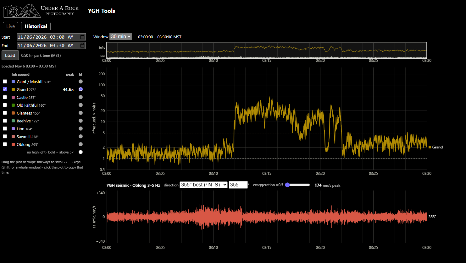
YGH Monitor App - Pt. 3: Use Cases
A living document showcasing examples of verified eruptions and their YGH traces
Published on: Thursday, 12 November 2026 at 00:55 UTC
YGH Monitor App - Pt. 2: How to Use the Tools
Instructions on how to navigate and use the YGH Monitor App for various forms of geyser gazing.
Published on: Saturday, 07 November 2026 at 00:55 UTC
YGH Monitor App - Pt. 1: Introduction
A new instrument in Yellowstone can be used for geyser gazing
Published on: Saturday, 07 November 2026 at 00:55 UTC
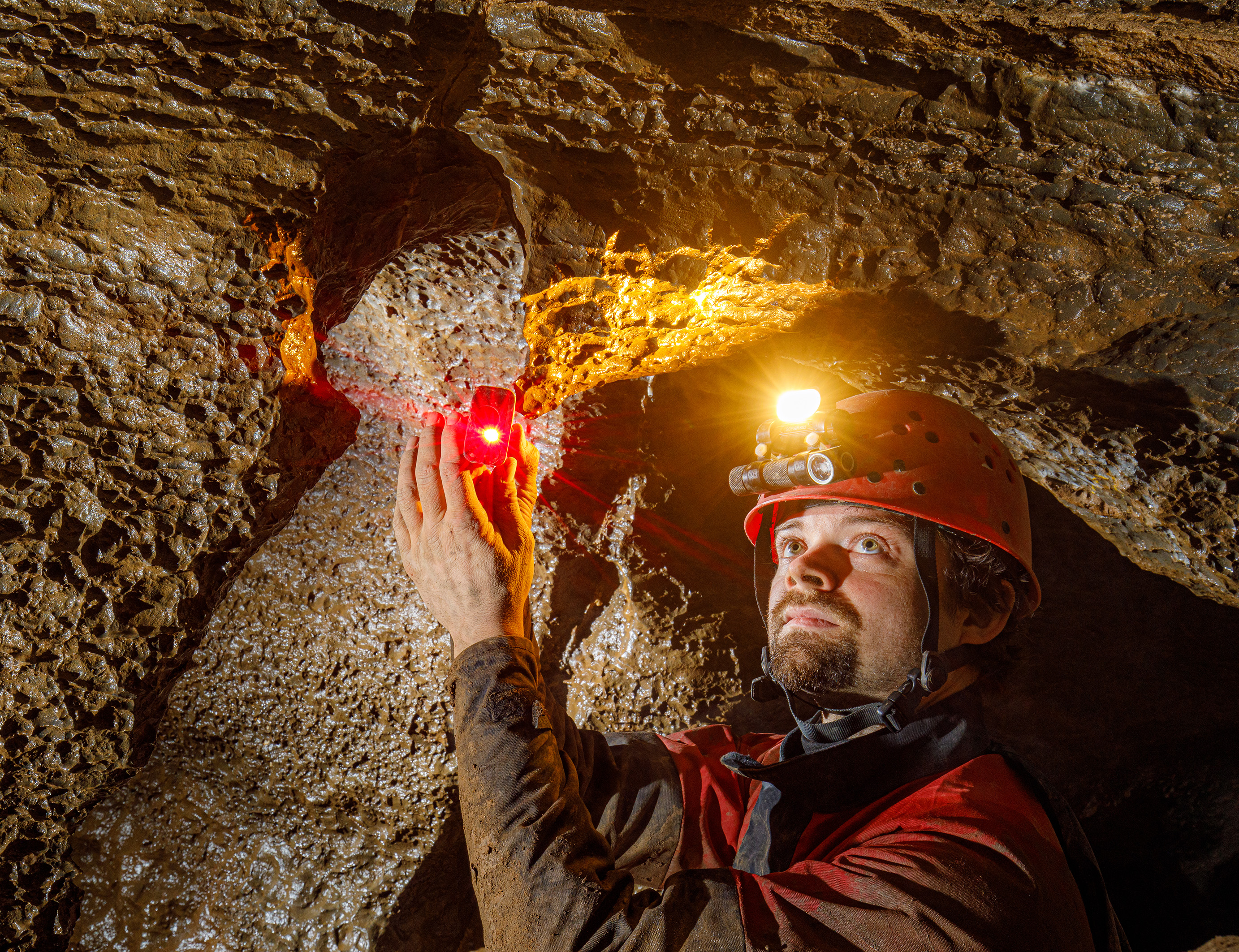
Sofirn's HS22 and SP40A Headlamps
For cavers, this is like having a sub-$150 Scurion
Published on: Wednesday, 17 December 2025 at 11:55 UTC
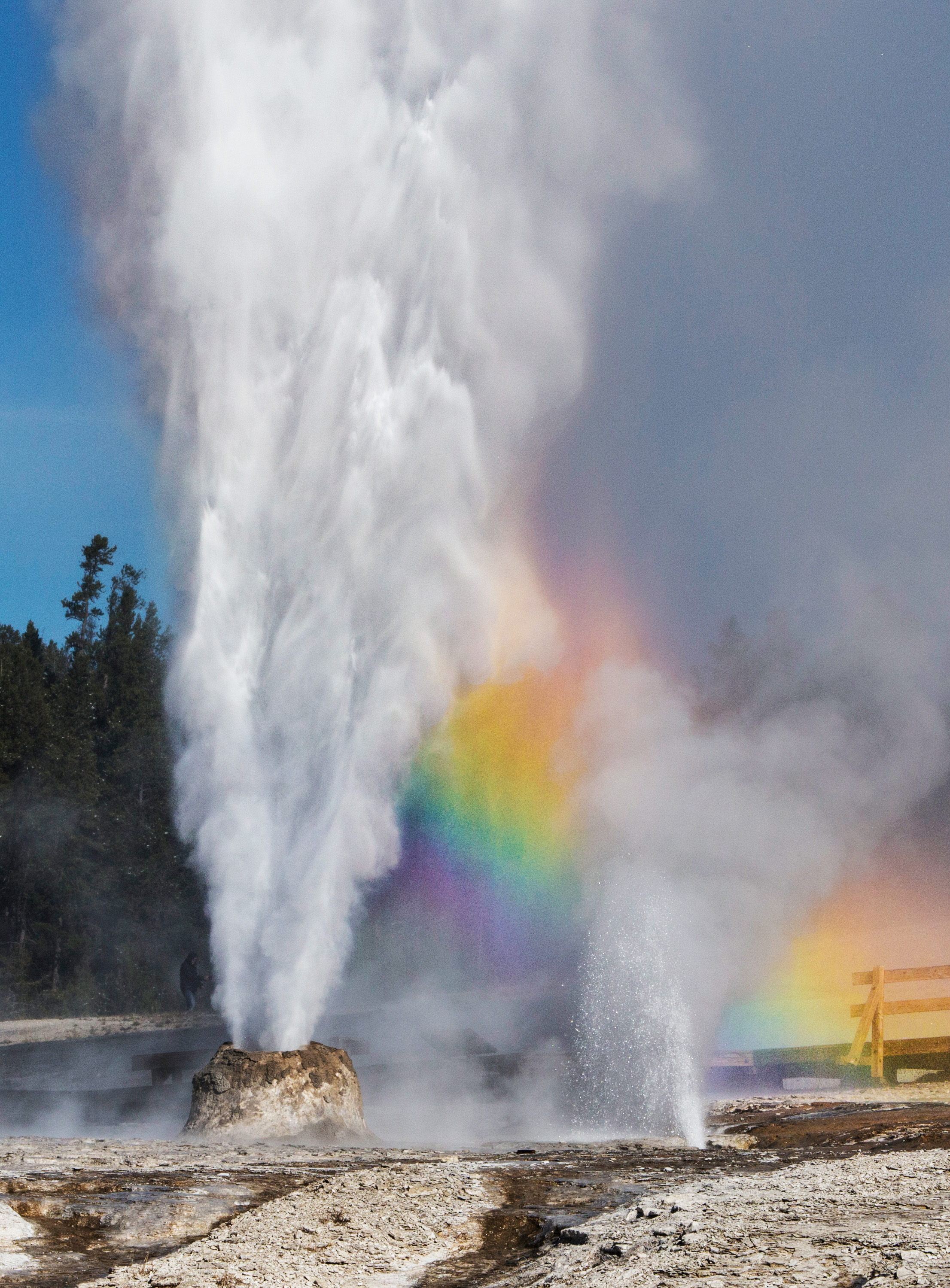
The Thermals Features of Yellowstone
Just over 3,000 words you didn't know you wanted to read.
Published on: Tuesday, 07 October 2025 at 11:55 UTC
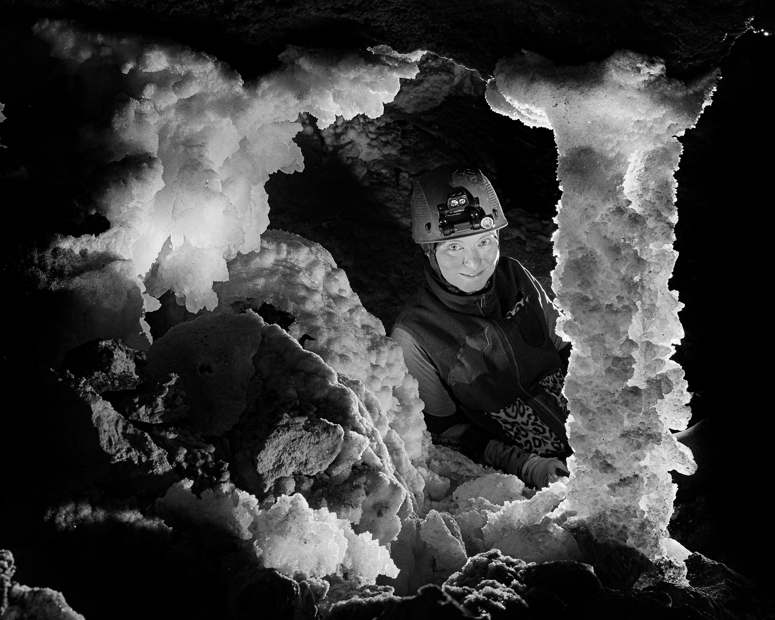
Trip Report: Bighorn-Horsethief Cave System
Surveying and photography during the August 2025 project weekend.
Published on: Wednesday, 01 October 2025 at 11:55 UTC
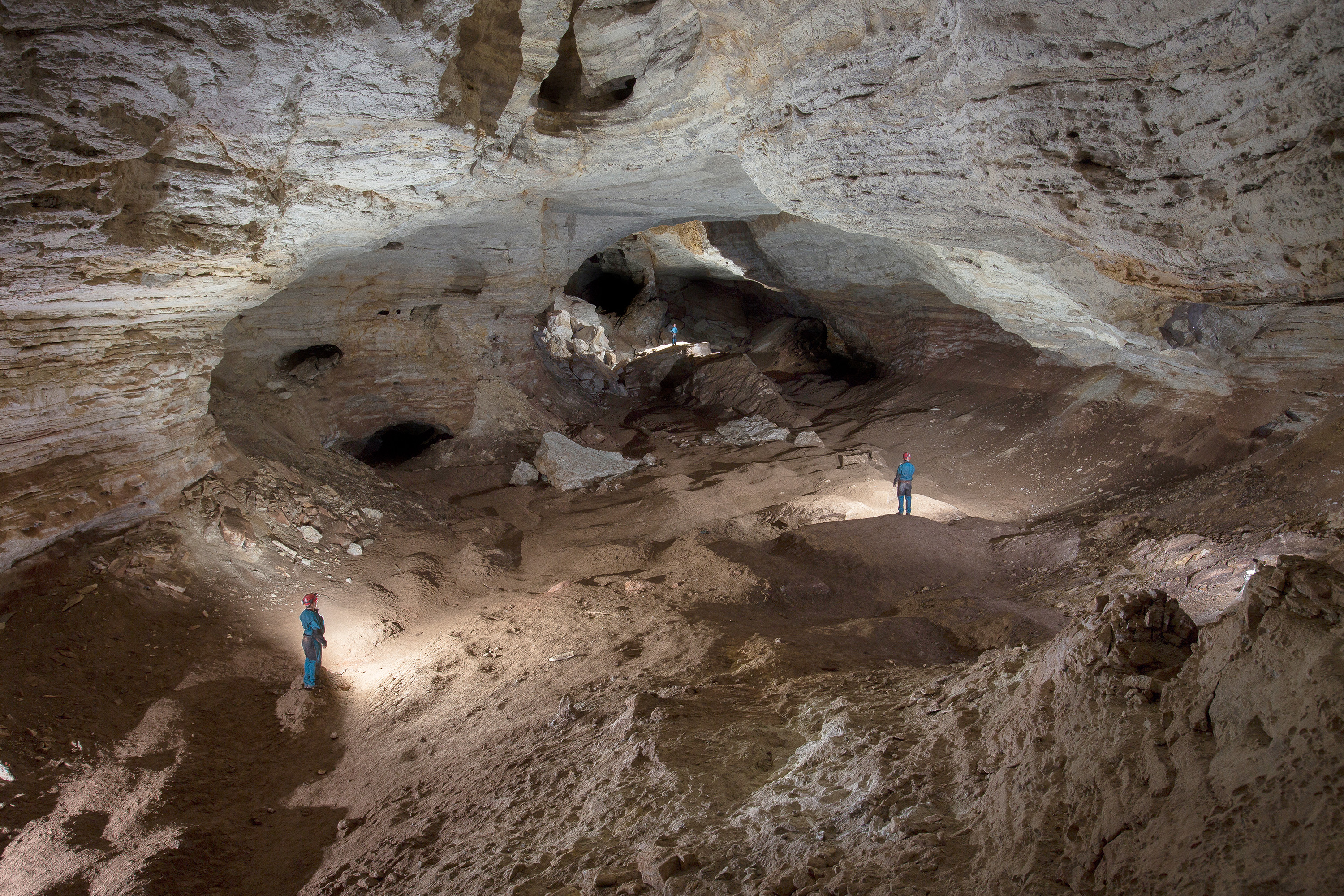
Bighorn-Horsethief Cave System
An introduction to the longest known cave in Wyoming and Montana
Published on: Tuesday, 23 September 2025 at 11:55 UTC
Thermopolis, WY, August 2025
Large travertine hot springs in central Wyoming
Published on: Friday, 19 September 2025 at 11:55 UTC
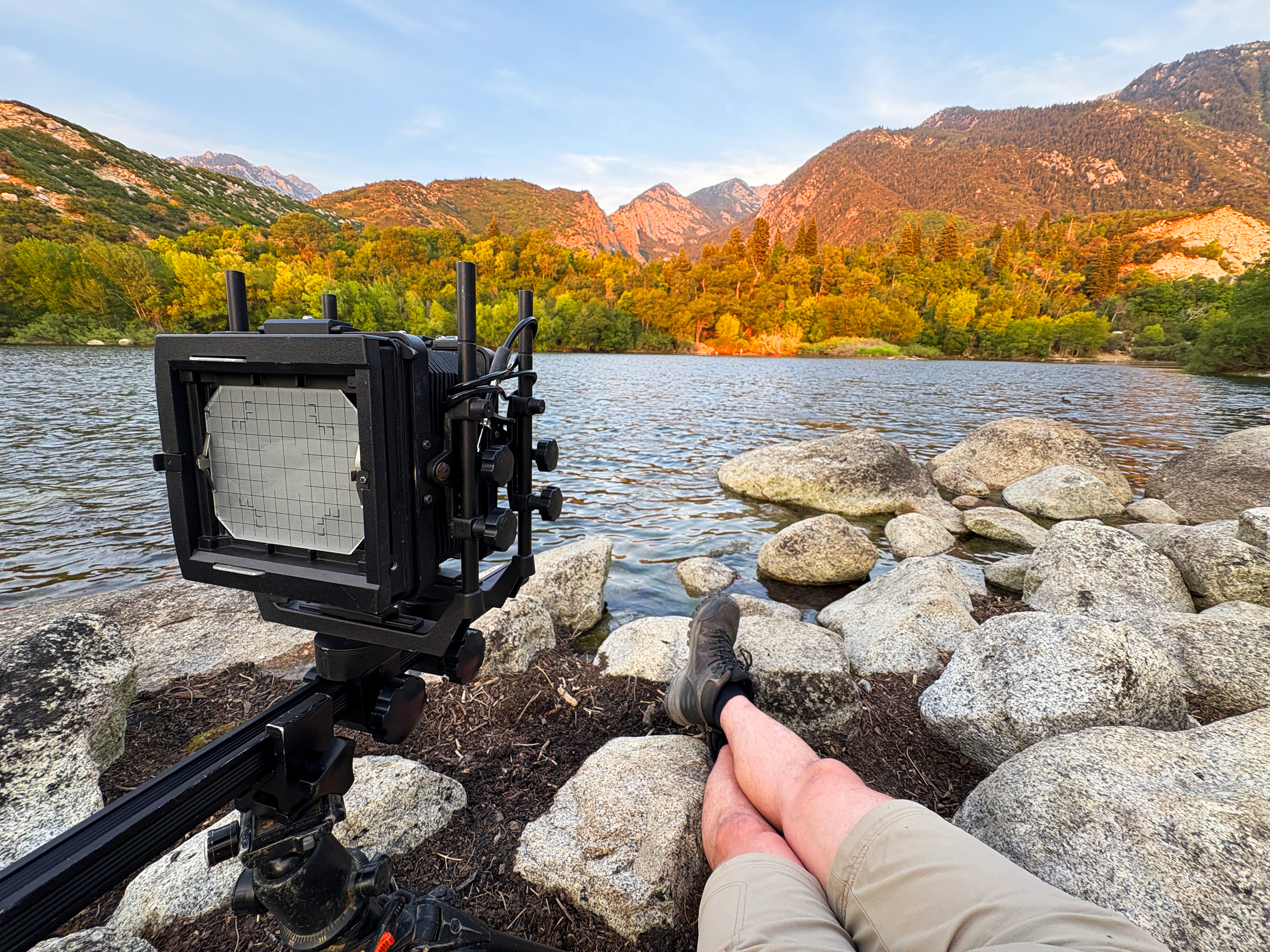
Lazy Photography in the Wasatch Range
Easy hiking and drive up sunsets from suburban Salt Lake City
Published on: Thursday, 11 September 2025 at 12:26 UTC
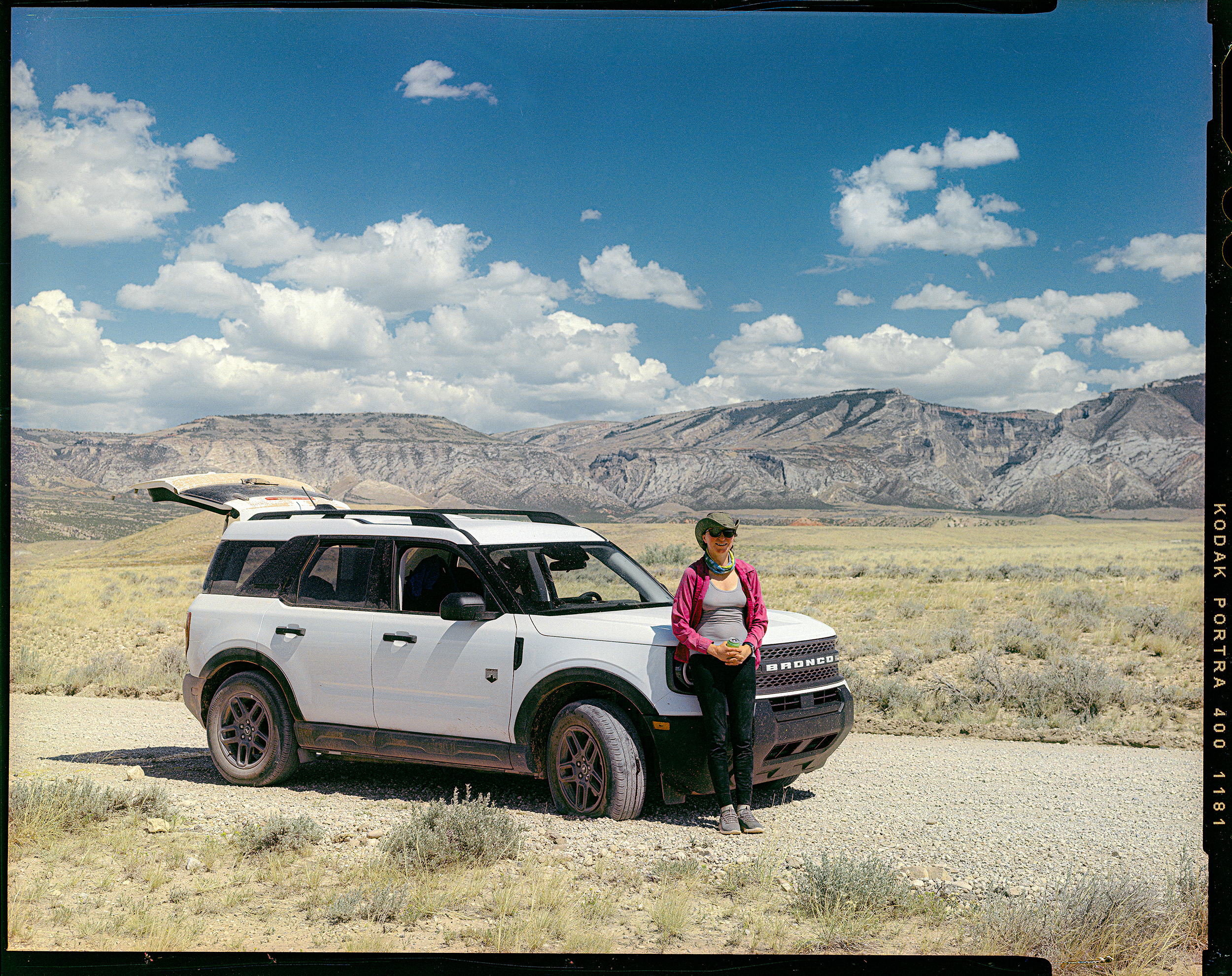
Car Review: 2026 Ford Bronco Sport
1500 miles of driving and camping with the 2026 Ford Bronco Sport
Published on: Wednesday, 10 September 2025 at 11:55 UTC
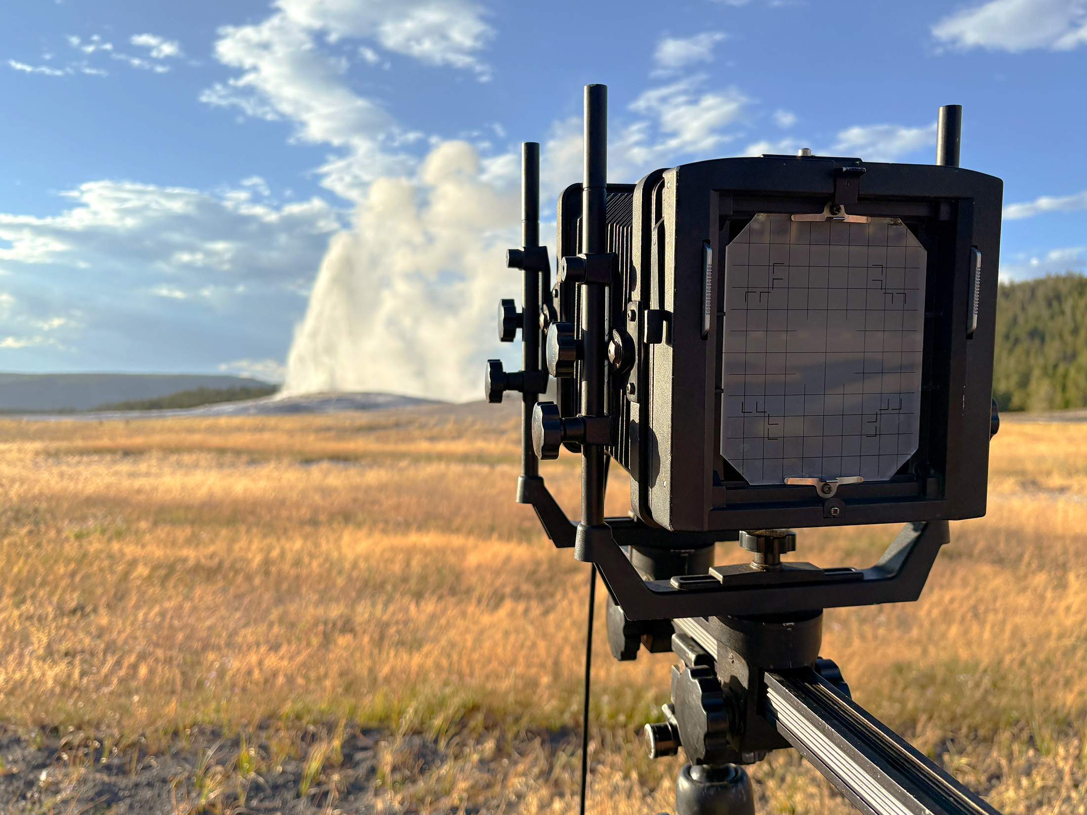
Wyoming, August 2025
Logistics and gear for eleven days of caving and photography in Big Sky Country
Published on: Wednesday, 10 September 2025 at 11:55 UTC
.jpg)
Tonto Natural Bridge
Massive travertine formation in central Arizona
Published on: Wednesday, 29 November 2023 at 11:55 UTC

Building This Website
Part 1: Lessons learned in mentally herding cats.
Published on: Friday, 14 July 2023 at 19:48 UTC
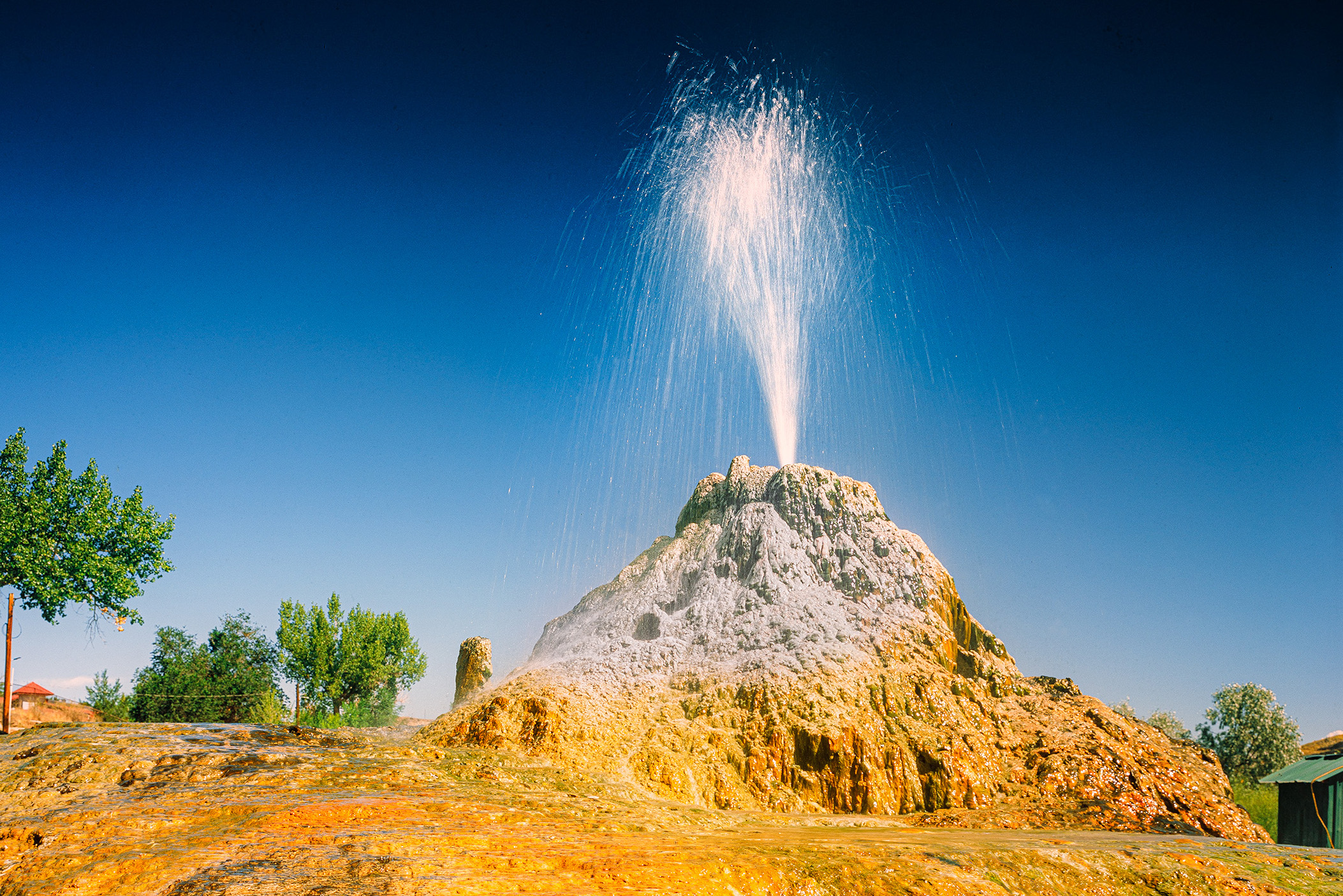
Man-made sputing spring near Thermopolis, Wyoming.
Thermopolis, WY, August 2025
Large travertine hot springs in central Wyoming
Published: Friday, 19 September 2025 at 11:55 UTC
Contents:
Much of the information for this article was accessed by Mark Fisher's wonderful article at https://www.geowyo.com/thermopolis-hot-springs.html.
The first stop on our Wyoming trip was the small town of Thermopolis, tucked at the southern end of the Bighorn Basin and the northern edge of the Wind River Mountains. Getting there meant hours of driving through the vast, open expanse of southwestern Wyoming—a region as empty and endless as anywhere in the lower 48, save for perhaps parts of Nevada.
We crossed wide desert plains with roads so straight they didn’t turn for dozens of miles. But that all changed abruptly as we neared the Wind River Range around Lander. We paused for lunch at Red Canyon Overlook, then continued north, following the Wind River through its dramatic course into Wind River Canyon.


Upon exiting the canyon, something unusual happens: the Wind River becomes the Bighorn River—one of only three rivers in the U.S. that changes names without meeting another water body. This curious renaming occurs at a spot called Wedding of the Waters. The change reflects the river’s transition from the Wind River Basin to the Bighorn Basin, though no actual confluence occurs there. The origin of this name change remains unclear, but it likely has roots in Indigenous naming traditions that predate European settlers.
Return to Thermopolis
We rolled into Thermopolis around 2 p.m. on Thursday, August 7th, 2025—exactly 24 years, 2 months, and 1 day since I last visited, back when I was six. On that snowy childhood visit, it was freezing cold. This time, it was a scorching 98°F.
Thermopolis is one of many hot spring towns scattered across the American West. Its proximity to Yellowstone often misleads people into assuming the hot water here comes from the Yellowstone Supervolcano. In fact, it comes from a far more localized, less dramatic source.
The Geology Behind the Heat
About 65 million years ago, during the uplift of the Rocky Mountains, layers of sedimentary rock—limestone, sandstone, shale—were folded into massive geologic structures resembling an accordion. These layers now channel water deep underground—up to 6,000 feet below the surface—where it gets heated by Earth’s natural thermal gradient.

Idealized illustration of how ground water sinks in the mountains, ride the carbonate layers deep into the earth where the water gets heated, and then rises again along cracks and fissures to flow forth at Thermopolis. In other places, man made wells have penetrated this auifer, forming spouting wells. Because the rain and snow falls in the mountains at high elevations, the springs at Thermopolis naturally flow due to gravity. Graphic © 2025 Ryan R. Maurer.
This heated groundwater travels upward, buoyed by pressure and temperature, along a geologic fold known as the Thermopolis Anticline. As it rises, the water—up to 180°F, saturated with dissolved calcium carbonate—mixes with cooler groundwater near the surface, reducing its temperature to about 135°F before emerging through surface cracks and fractures.
Most of this water surfaces at a spot known as The Big Spring, a well-like vent 20 feet in diameter and over 30 feet deep, discharging up to 2,000 gallons per minute.

Gram and I at The Big Spring, June 2001. Photo by Don Dorazio.
Hot Springs Culture
Much of the flow from Big Spring is diverted to various man-made pools and spas, including:
- Star Plunge
- Teepee Fountain
- Hellie’s TePee Pools
- Hot Springs Spa
- The State Park Bath House (free to the public)
The latter is a legacy of an 1896 agreement between European settlers and the local Shoshone and Arapaho tribes, in which this land was ceded under the condition that access to the springs would remain free and open—continuing a long tradition of communal bathing.
The Rainbow Terraces
Any remaining water from Big Spring flows westward, depositing its load of dissolved calcite as it cools. This process forms the Rainbow Terraces—striking travertine formations colored by colonies of heat-loving bacteria and algae.


- Near the source: Cyanophyta (blue-green algae) dominate the hot, steady flows.
- As the water cools: Chlorophyta (green algae) form thick mats.
- Farther downstream: Schizophyta (yellow and brown bacteria) and Bacillariophyta (diatoms) thrive in slower-moving water.


These vibrant microbial communities shift constantly as flow conditions change. A network of boardwalks lets visitors walk right up to the terraces, some of which are now slowly overtaking the path as calcite continues to build.

Calcite deposition doesn’t just reshape the surface—it also affects the subsurface plumbing. Over time, new springs can form while old ones seal off. Currently, only Big Spring and White Sulphur Spring flow naturally; others have gone dormant, while some new flows may now rise directly into the Bighorn River.
Man-Made Wonders
The geothermal activity isn’t limited to natural features. In 1918, a drill looking for oil about a mile north of town struck a pressurized aquifer, causing a hot water geyser to erupt from the well. Over the last 107 years, it has built up a 10-foot-tall travertine mound around its vent. This geyser, still active and partially managed by piping, now feeds the pools at the Fountain of Youth RV Park, where we stayed during my first visit 24 years ago.

Sacajawea Well at the Fouth of Youth RV Park, June 2001.


Hope swimming in the hot pool at Sacajawea Well.
Two other notable wells include:
- Maytag Spring (500 gpm)
- McCarthy Well No. 1 (similar flow)
These man-made springs show that the underlying aquifer remains vast and active, even if the natural outlets have changed.
Are the Springs Drying Up?
The visible decline in the number of active springs has led to some local concern, but the overall picture is more nuanced. While Big Spring’s flow did slow in the early 2000s—from 2,500 gpm to around 2,000 gpm—the total outflow from all sources has actually increased since 2016, now averaging nearly 4,000 gpm, with most of that coming from Big Spring.
Factors influencing spring activity include:
- Recharge from mountain snowmelt
- Artesian pressure from the aquifer
- Oil drilling, which mostly reinjects fluids (maintaining pressure)
- Travertine buildup altering flow paths
- Possible new flow paths into the Bighorn River
- Prolonged drought conditions

While nature plays a large role, human activity—from well management to oil extraction—will also shape the future of Thermopolis’s springs.
Reflections
Though some of the springs may be less visually dramatic than they once were, Thermopolis remains a geological gem and a haven for hot spring lovers. Hope and I spent a full day in town—soaking, walking, exploring—and it wasn’t enough. We stayed at the Hot Springs Hotel and Spa, enjoyed the State Park Bath House, and returned to the Fountain of Youth RV Park, closing a 24-year loop in my personal history.
By the time we left on Friday, heading north, we were already talking about coming back—for more soaking, more photography, and more time simply slowing down in one of Wyoming’s most unique towns.

 v.2026.11.12.A
%20--%3e%3cdefs%3e%3cstyle%3e%20.st0%20{%20fill:%20%23fff;%20}%20%3c/style%3e%3c/defs%3e%3cg%3e%3cpath%20class='st0'%20d='M55.7,107.69h-11.41l-2.1,5.82h-3.6l9.46-26.01h3.94l9.42,26.01h-3.6l-2.1-5.82ZM54.73,104.91l-4.73-13.21-4.73,13.21h9.46Z'/%3e%3cpath%20class='st0'%20d='M80.79,100.43c-1.49,1.44-3.76,2.16-6.81,2.16h-5.03v10.92h-3.42v-26.16h8.45c2.95,0,5.2.71,6.74,2.14,1.54,1.43,2.31,3.27,2.31,5.52s-.74,3.98-2.23,5.42ZM78.19,98.53c.9-.83,1.35-2,1.35-3.53,0-3.23-1.85-4.84-5.56-4.84h-5.03v9.61h5.03c1.9,0,3.3-.41,4.2-1.24Z'/%3e%3cpath%20class='st0'%20d='M102.53,100.43c-1.49,1.44-3.76,2.16-6.81,2.16h-5.03v10.92h-3.42v-26.16h8.45c2.95,0,5.2.71,6.74,2.14,1.54,1.43,2.31,3.27,2.31,5.52s-.74,3.98-2.23,5.42ZM99.92,98.53c.9-.83,1.35-2,1.35-3.53,0-3.23-1.85-4.84-5.56-4.84h-5.03v9.61h5.03c1.9,0,3.3-.41,4.2-1.24Z'/%3e%3cpath%20class='st0'%20d='M112.66,112.85c-1.36-.61-2.43-1.46-3.21-2.55-.78-1.09-1.18-2.35-1.2-3.77h3.64c.13,1.23.63,2.26,1.52,3.1.89.84,2.18,1.26,3.88,1.26s2.91-.41,3.85-1.22c.94-.81,1.41-1.86,1.41-3.13,0-1-.28-1.81-.83-2.44s-1.24-1.1-2.06-1.43c-.83-.32-1.94-.68-3.34-1.05-1.73-.45-3.11-.9-4.15-1.35s-1.93-1.16-2.66-2.12c-.74-.96-1.11-2.26-1.11-3.88,0-1.43.36-2.69,1.09-3.79.72-1.1,1.75-1.95,3.06-2.55,1.31-.6,2.82-.9,4.52-.9,2.45,0,4.46.61,6.02,1.84,1.56,1.23,2.45,2.85,2.65,4.88h-3.75c-.13-1-.65-1.88-1.58-2.65-.93-.76-2.15-1.14-3.68-1.14-1.43,0-2.59.37-3.49,1.11s-1.35,1.77-1.35,3.1c0,.95.27,1.73.81,2.33.54.6,1.2,1.06,1.99,1.37.79.31,1.9.67,3.32,1.07,1.73.48,3.12.94,4.17,1.41,1.05.46,1.95,1.18,2.7,2.14s1.13,2.27,1.13,3.92c0,1.28-.34,2.48-1.01,3.6-.68,1.13-1.68,2.04-3,2.74-1.33.7-2.89,1.05-4.69,1.05s-3.27-.31-4.64-.92Z'/%3e%3c/g%3e%3cpath%20class='st0'%20d='M115.19,16.11C105.67.35,85.18-4.71,69.42,4.8c-15.76,9.52-20.82,30.01-11.31,45.77s30.01,20.82,45.77,11.31c15.76-9.52,20.82-30.01,11.31-45.77ZM81.9,49.87c0,1.65-1.34,2.98-2.98,2.98h-8.89c-1.65,0-2.98-1.34-2.98-2.98v-8.89c0-1.65,1.34-2.98,2.98-2.98h8.89c1.65,0,2.98,1.34,2.98,2.98v8.89ZM81.9,24.92c0,1.65-1.34,2.98-2.98,2.98h-8.89c-1.65,0-2.98-1.34-2.98-2.98v-8.89c0-1.65,1.34-2.98,2.98-2.98h8.89c1.65,0,2.98,1.34,2.98,2.98v8.89ZM107.24,49.87c0,1.65-1.34,2.98-2.98,2.98h-8.89c-1.65,0-2.98-1.34-2.98-2.98v-8.89c0-1.65,1.34-2.98,2.98-2.98h8.89c1.65,0,2.98,1.34,2.98,2.98v8.89ZM107.24,24.92c0,1.65-1.34,2.98-2.98,2.98h-8.89c-1.65,0-2.98-1.34-2.98-2.98v-8.89c0-1.65,1.34-2.98,2.98-2.98h8.89c1.65,0,2.98,1.34,2.98,2.98v8.89Z'/%3e%3c/svg%3e)


